Coquihalla Highway 5 Webcams
31 DriveBC cameras at 15 locations cover Highway 5 between Hope and Kamloops.
Every camera below is a DriveBC still image, refreshed about every 15 minutes. These are still cameras, never live video. Tap any camera for its detail page, elevation, view direction, and neighbouring cameras in driving order.
Current segment status
Hope to Merritt
21 DriveBC cameras in driving order. Still images, refreshed about every 15 minutes.
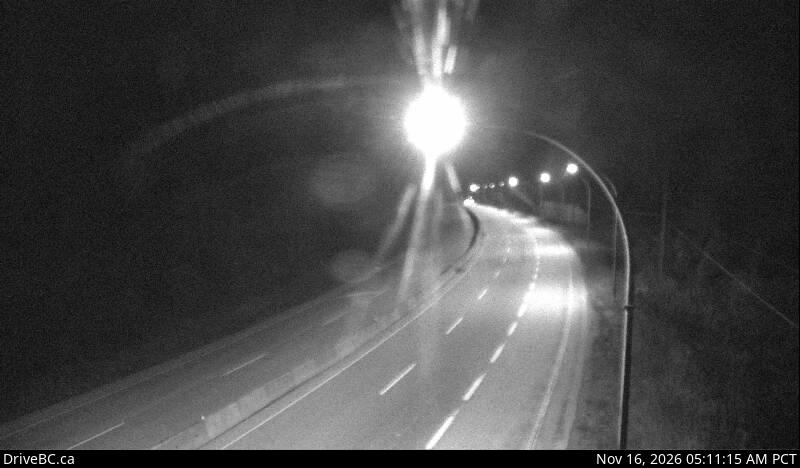 Portia, looking northElevation 635 m, DriveBC
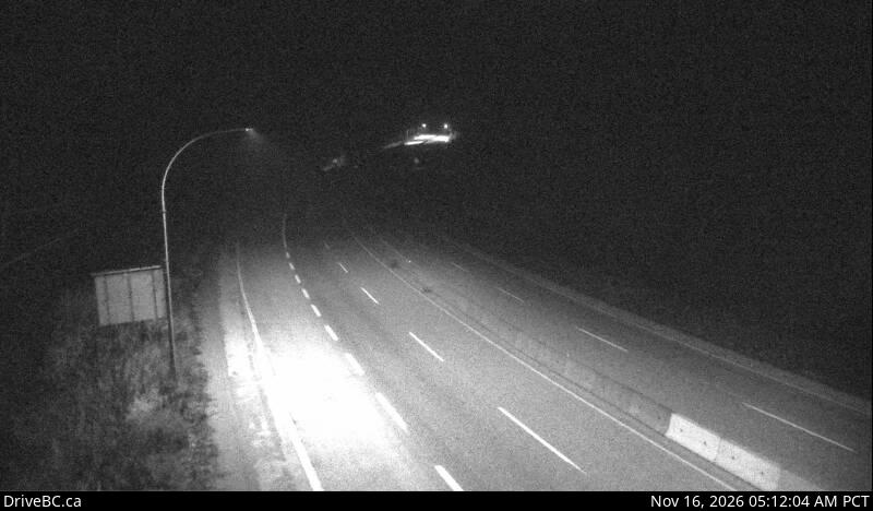 Portia, looking southElevation 635 m, DriveBC
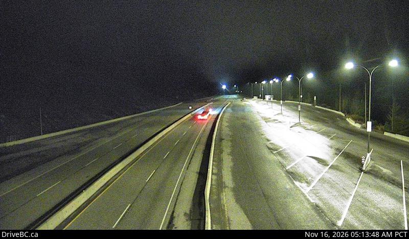 Box Canyon, looking northElevation 849 m, DriveBC
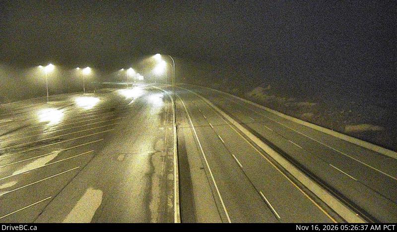 Box Canyon, looking southElevation 849 m, DriveBC
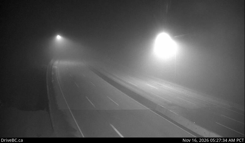 Great Bear Snowshed, looking northElevation 980 m, DriveBC
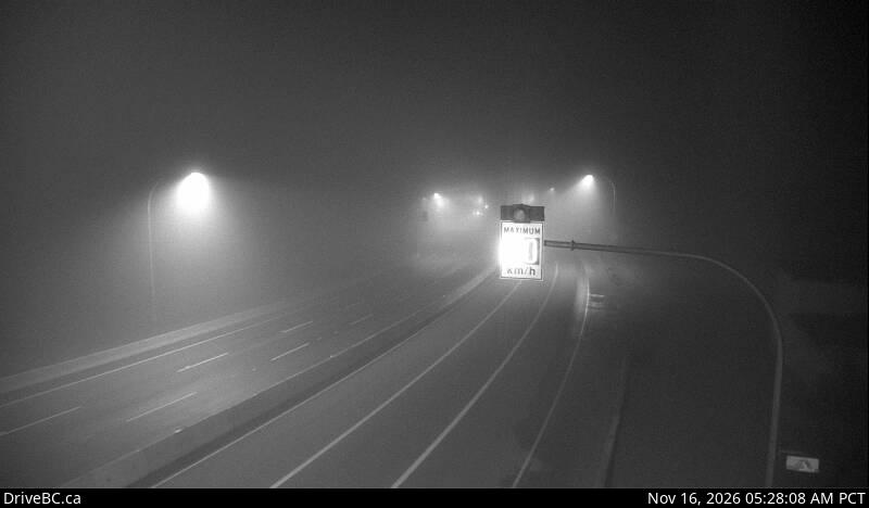 Great Bear Snowshed, looking southElevation 980 m, DriveBC
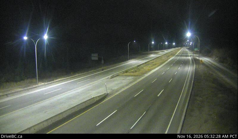 Zopkios Northbound, looking northElevation 1,208 m, DriveBC
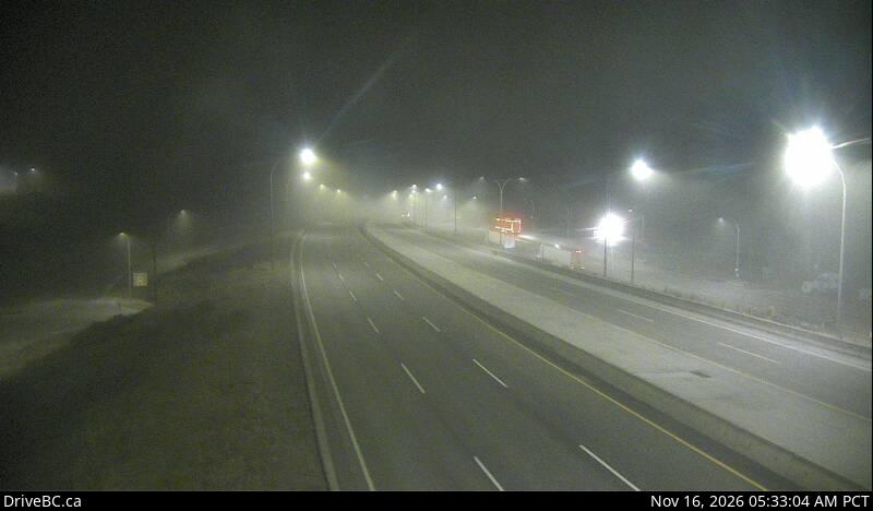 Zopkios Northbound, looking southElevation 1,208 m, DriveBC
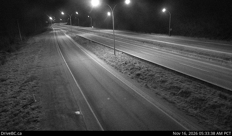 Zopkios Southbound, looking northElevation 1,210 m, DriveBC
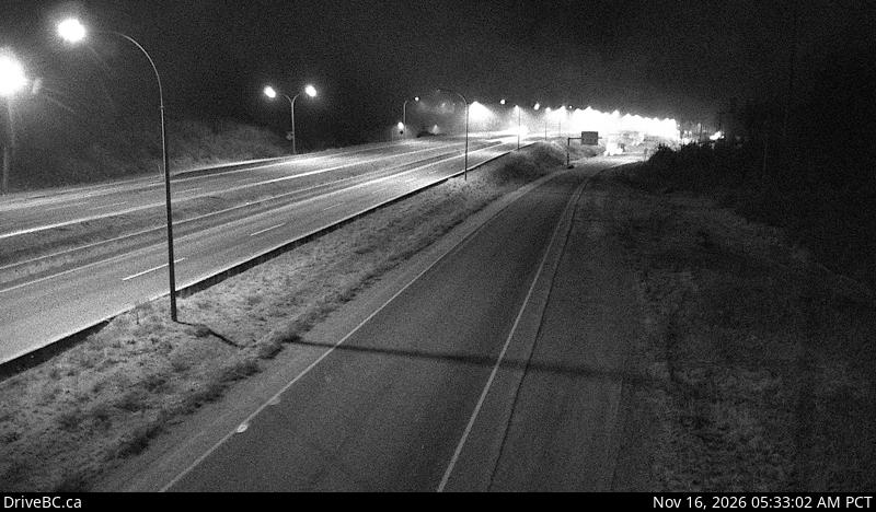 Zopkios Southbound, looking southElevation 1,210 m, DriveBC
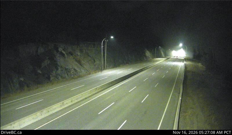 Coquihalla Summit, looking northElevation 1,230 m, DriveBC
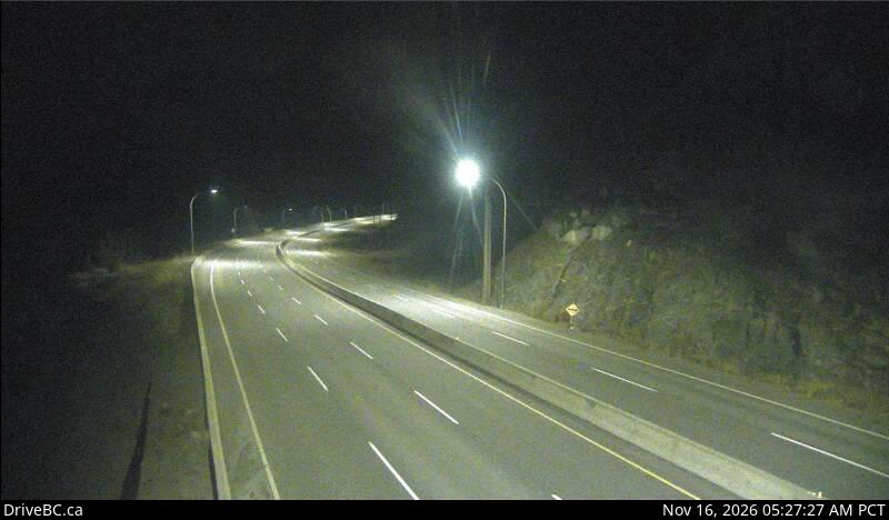 Coquihalla Summit, looking southElevation 1,230 m, DriveBC
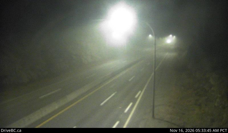 Coquihalla Lakes, looking northElevation 1,193 m, DriveBC
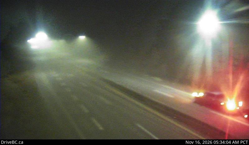 Coquihalla Lakes, looking southElevation 1,193 m, DriveBC
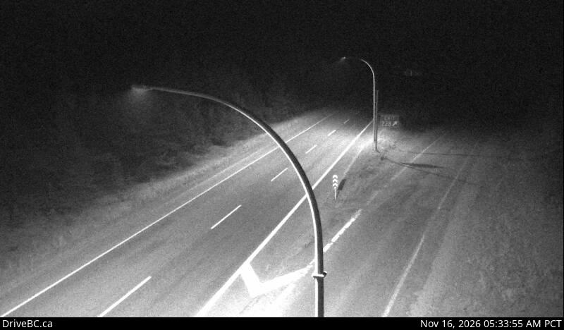 Britton Creek, looking northElevation 1,132 m, DriveBC
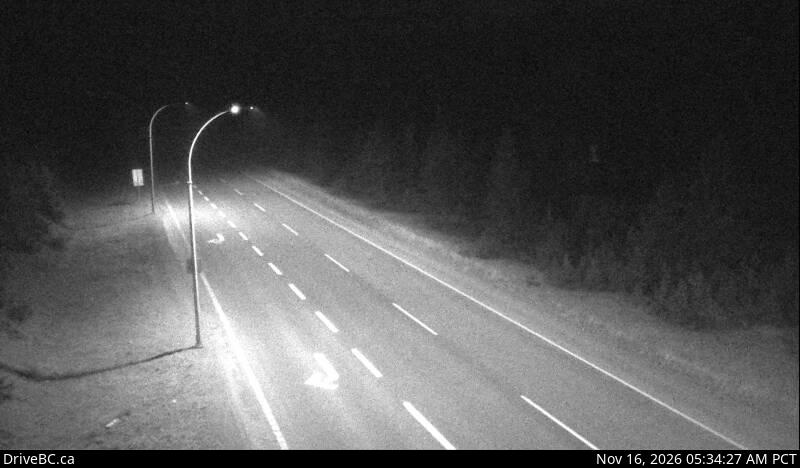 Britton Creek, looking southElevation 1,132 m, DriveBC
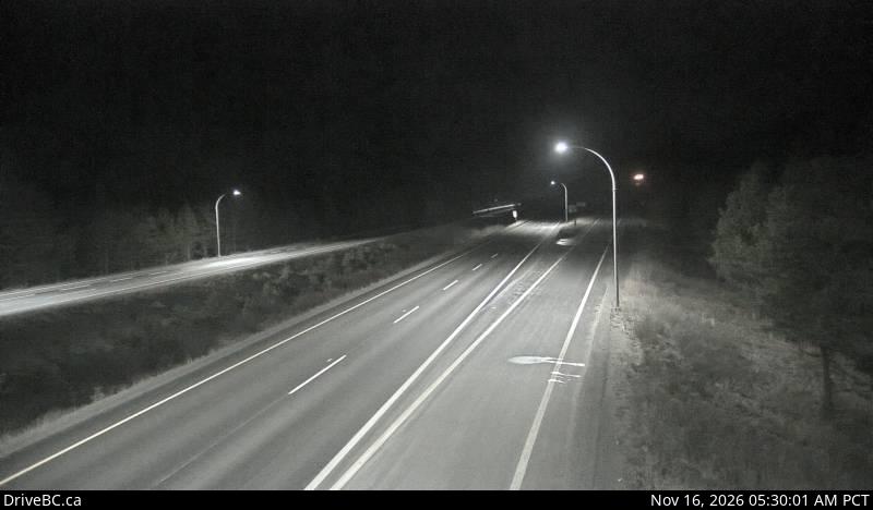 Mine Creek, looking southElevation 1,084 m, DriveBC
 Larson Hill, looking northElevation 1,025 m, DriveBC
 Larson Hill, looking southElevation 1,025 m, DriveBC
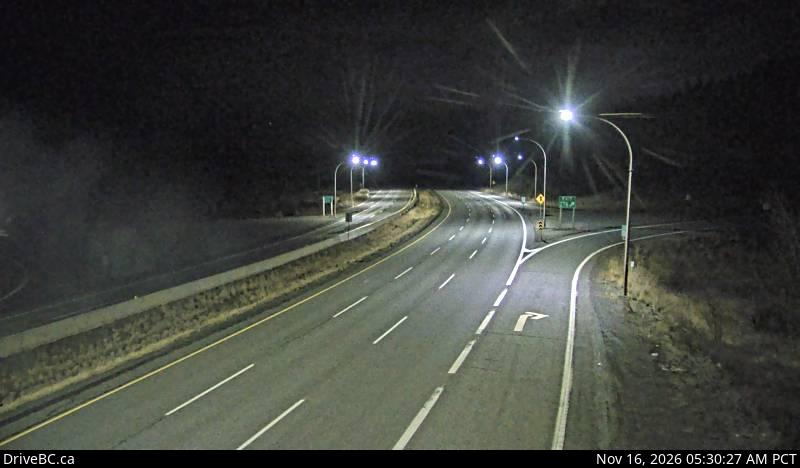 Comstock, looking northElevation 990 m, DriveBC
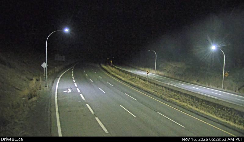 Comstock, looking southElevation 990 m, DriveBC
Merritt to Kamloops
10 DriveBC cameras in driving order. Still images, refreshed about every 15 minutes.
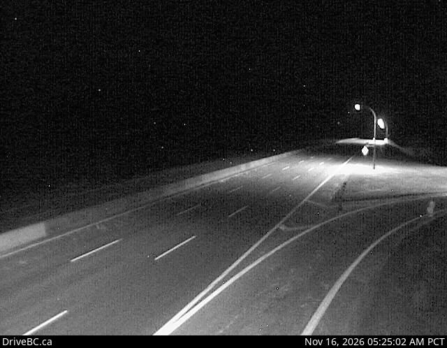 Helmer Lake, looking northElevation 1,385 m, DriveBC
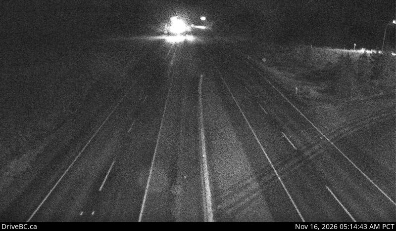 Highway 5 at Highway 97D, looking northElevation 1,330 m, DriveBC
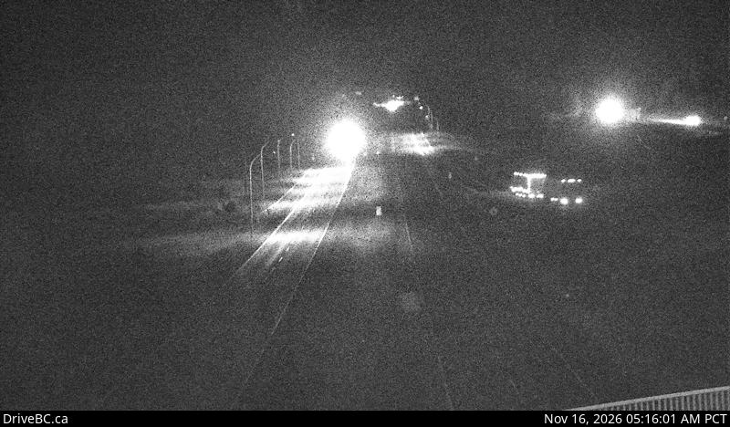 Highway 5 at Highway 97D, looking southElevation 1,330 m, DriveBC
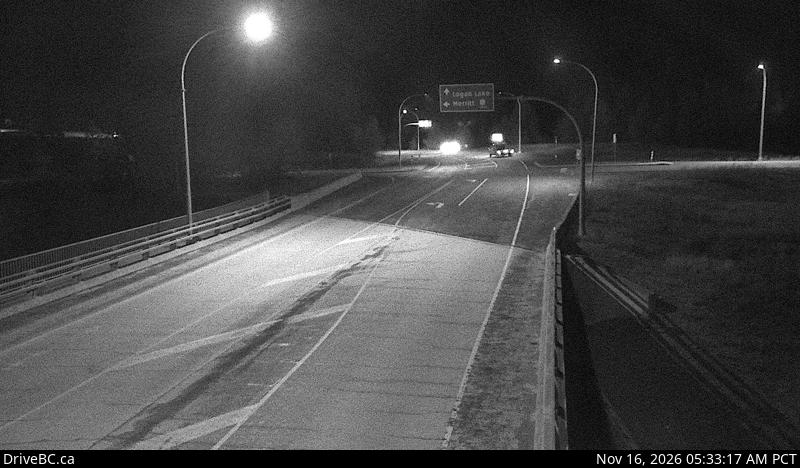 Highway 5 at Highway 97D, looking northeastElevation 1,330 m, DriveBC
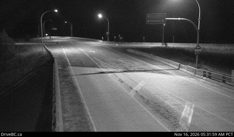 Highway 5 at Highway 97D, looking southwestElevation 1,330 m, DriveBC
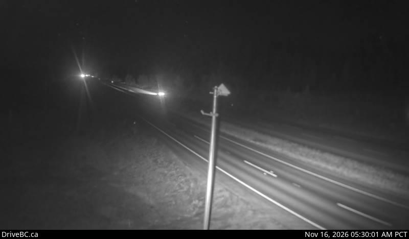 Walloper, looking southElevation 1,300 m, DriveBC
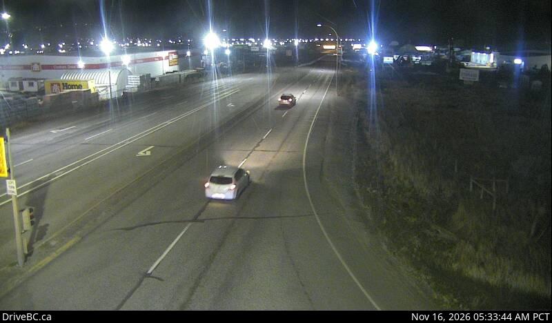 Halston Avenue, Kamloops, looking northElevation 372 m, DriveBC
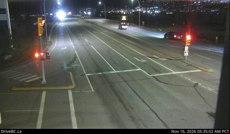 Halston Avenue, Kamloops, looking southElevation 372 m, DriveBC
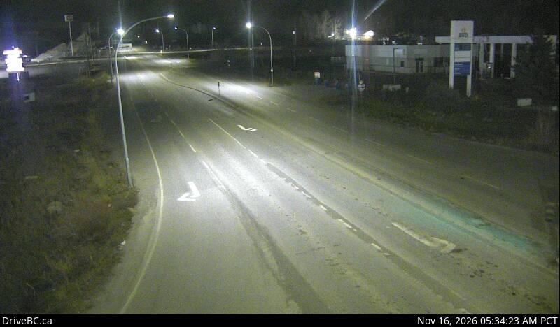 Halston Avenue, Kamloops, looking eastElevation 372 m, DriveBC
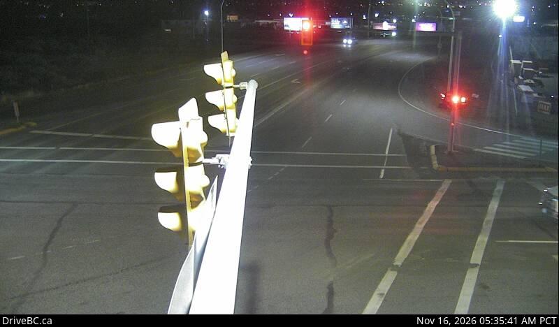 Halston Avenue, Kamloops, looking westElevation 372 m, DriveBC
Frequently asked questions
How many webcams are on the Coquihalla?
DriveBC runs 31 cameras at 15 locations on Highway 5 between Hope and Kamloops: 21 between Hope and Merritt and 10 between Merritt and Kamloops. Every camera is listed on this page in driving order.
Are the Coquihalla webcams live video?
No. Every camera is a still image refreshed about every 15 minutes. This site never presents the cameras as live video, and the time gap matters in fast changing winter weather.
Who operates the Highway 5 webcams?
DriveBC operates the cameras. DriveBC is the traveller information service of the British Columbia Ministry of Transportation and Transit, and this site republishes its open data with attribution under the Open Government Licence, British Columbia.
Why does a webcam image look old or blank?
Camera stills refresh about every 15 minutes, so a frame can be several minutes old when you see it. In winter a camera can also show a snow covered lens or go offline during a storm, which is itself useful information about conditions at that spot.
Which webcams should I check before driving?
Check the cameras nearest the summits for your segment: Coquihalla Summit and the Great Bear Snowshed area between Hope and Merritt, and the Surrey Lake Summit area between Merritt and Kamloops. In winter, the road surface in those frames is the most honest read on the corridor.
Road, weather, and camera data: DriveBC, the British Columbia Ministry of Transportation and Transit. Contains information licensed under the Open Government Licence, British Columbia.